Welcome to the CTOH website, here you will find information about this team, its goals, its products, and the applications we work on.
CTOH Products
Access to CTOH’s data and products. To download and use data, you must be a registered user, but anyone can browse the catalog, Availability and data access links in the table below, subject to CTOH’s data policy Application Product Name Product Kind Coverage Time range Ocean / Coastal / Hydrology & Cont. Surf. Altimetric normalized pass […]
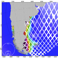
Coastal Altimetry
Regional Products The CTOH computes and distributes specific, coastal products: One hertz along track Sea Level Anomaly : SLA 1Hz High frequency Sea Level Anomaly : SLA HF(This product is in phase of testing. Only three zones are available: India, Gulf of Mexico and Mediterranean) One hertz along track tidal constants: Tidal Constants using its X-TRACK processor for all precise […]
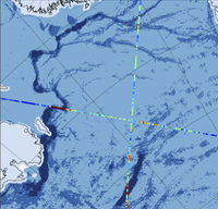
Sea-Ice Altimetry
Sea Ice Thickness measurement using Satellite Altimetry A new version is available: It includes the ice freeboard, the snow depth and the sea ice thickness it covers up to 2019 and the Austral Sea Ice ! The data are monthly maps but we can also provide along-track data. Click here to access the data using the […]
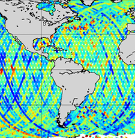
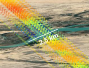
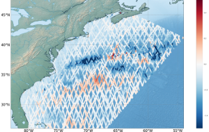
Along-Track Altimetry
Description and data access to enhanced Alongtrack MGDR data – available over the oceans and continents. Data access On-line altimetry data information Alongtrack data with up-to-date corrections over the oceans and continents added by the CTOH We maintain on-line Merged Geophysical Data Records (MGDRs) over the oceans and continents for surface topography studies (e.g. sea […]
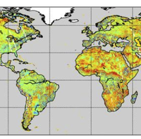
Hydrology and Altimetry
Altimetry can be used to obtain water level heights on sites where no data has been collected. Efforts for obtaining reliable long-time series have been developed at CTOH for years. Among these efforts : The CTOH also processes altimeter missions specifically for hydrology and continental surfaces: – ERS-2 mission
CTOH Projects
Current Projects Archived Projects & Products Please note all these products are not distributed anymore. Some of these have been migrated from research to production status
The CTOH is a French Observation Service dedicated to satellite altimetry studies (Centre of Topography of the Oceans and the Hydrosphere) . The CTOH aims to help scientific users develop new altimetric products and applications.
Within this framework, the CTOH maintains homogeneous altimetric data bases for the long-term monitoring of sea level and ocean currents, lake and river levels, the cryosphère, and the planet’s climate.
Established in 1989, the CTOH is an INSU Observational Service, supported by the Centre National de la Recherche Scientifique (CNRS), Centre National d’Etudes Spatiales (CNES), Institut de Recherche pour le Développement (IRD), Observatoire Midi-Pyrénées (OMP), Pôle Océan-Altimétrie-Climat (CPER).